 |
 |
 |
Uncaptioned
[512x768 41K] |
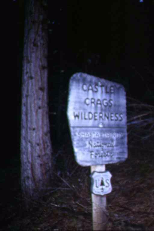
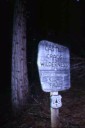
Castle Crags Wilderness sign
[512x768 22K] |
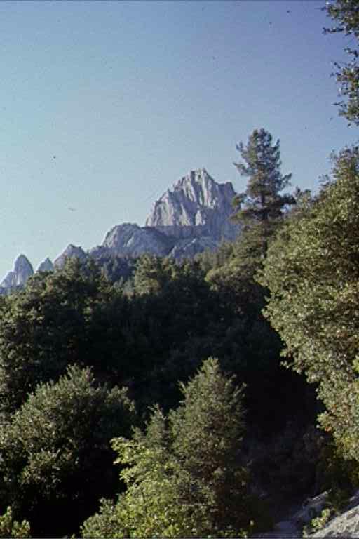
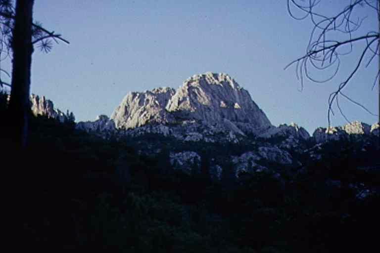
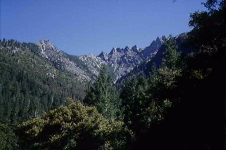
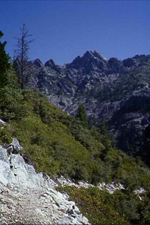
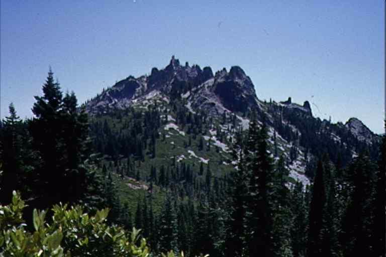
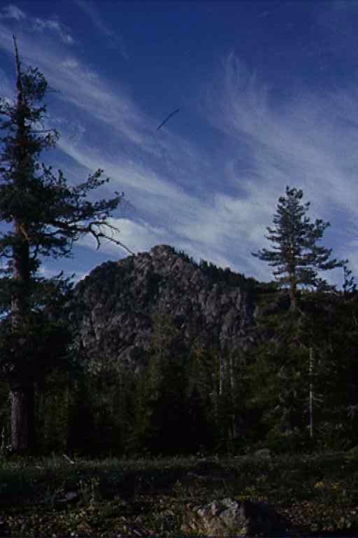
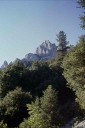
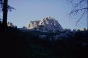
Crags
[512x768 44K] |
 |
 |
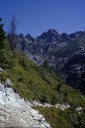 |
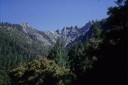
Crags
[768x512 25K] |
Uncaptioned
[768x512 35K] |
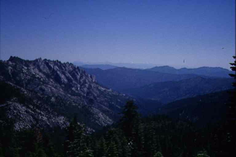
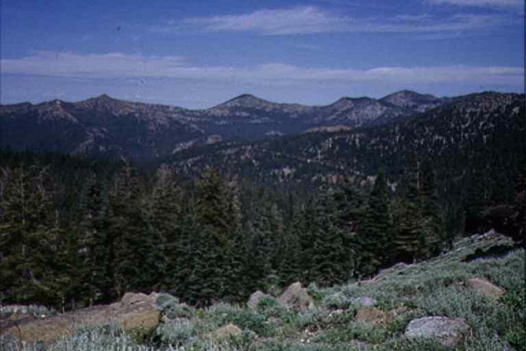
Panoramic series
[512x768 52K] |
 |
 |
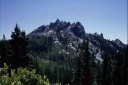 |
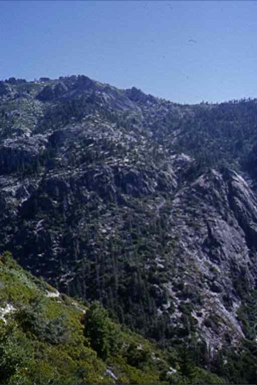
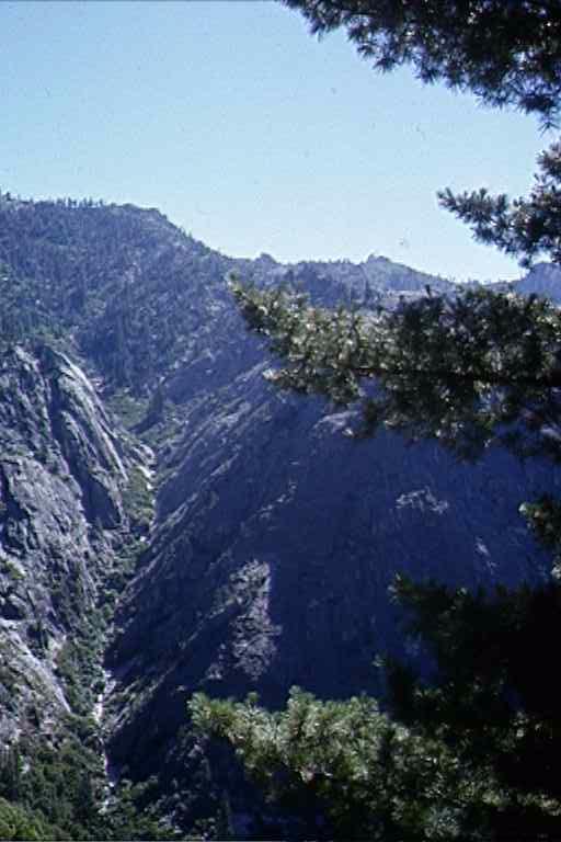
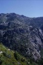
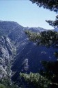
Panoramic series
[512x768 49K] |
Panoramic series
[512x768 48K] |
Uncaptioned
[768x512 38K] |
 |
 |
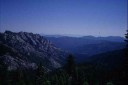 |
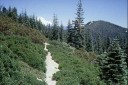
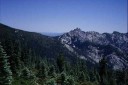
Panoramic series. Shasta (L)
[768x512 63K] |
Panoramic series (Castle Crags)
[768x512 36K] |
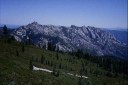
Panoramic Series (Mt. Lasser in distance)
[768x512 20K] |
 |
 |
 |
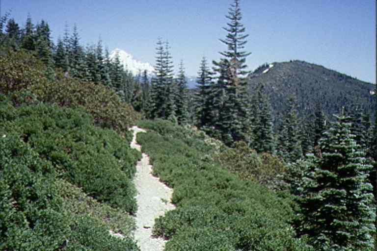
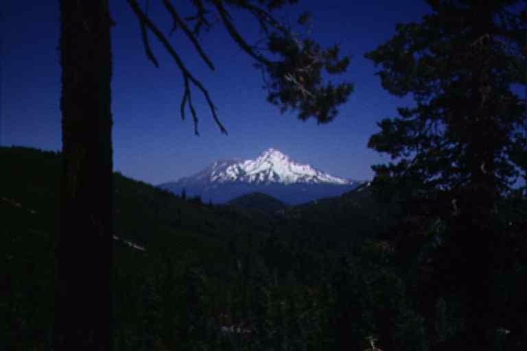
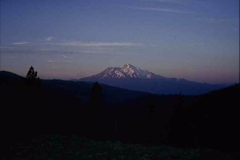
Mt. Shasta
[768x512 33K] |
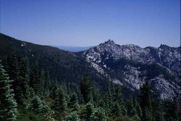
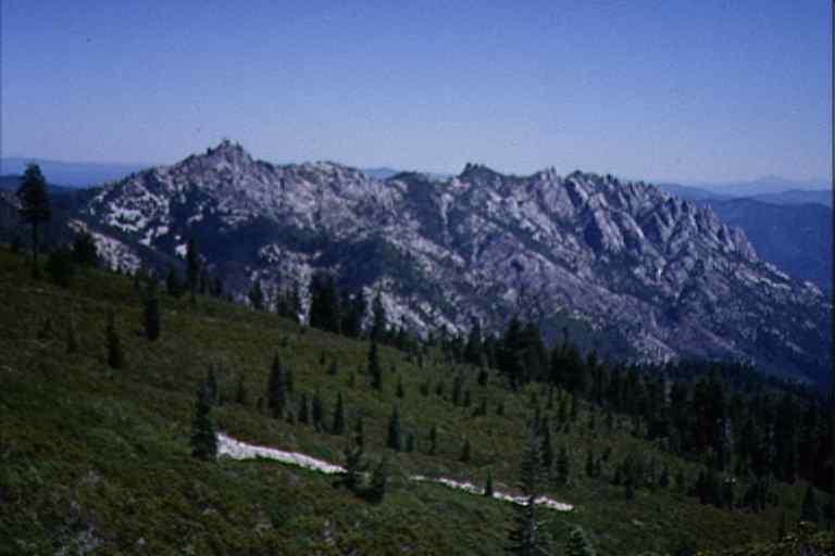
Castle Crags
[768x512 18K] |
Uncaptioned
[768x512 38K] |
 |
 |
 |
Uncaptioned
[768x512 11K] |
Uncaptioned
[512x768 34K] |
Uncaptioned
[768x512 39K] |
 |
 |
 |
Uncaptioned
[768x512 21K] |
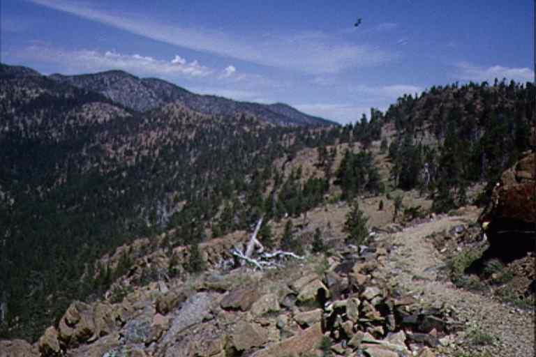
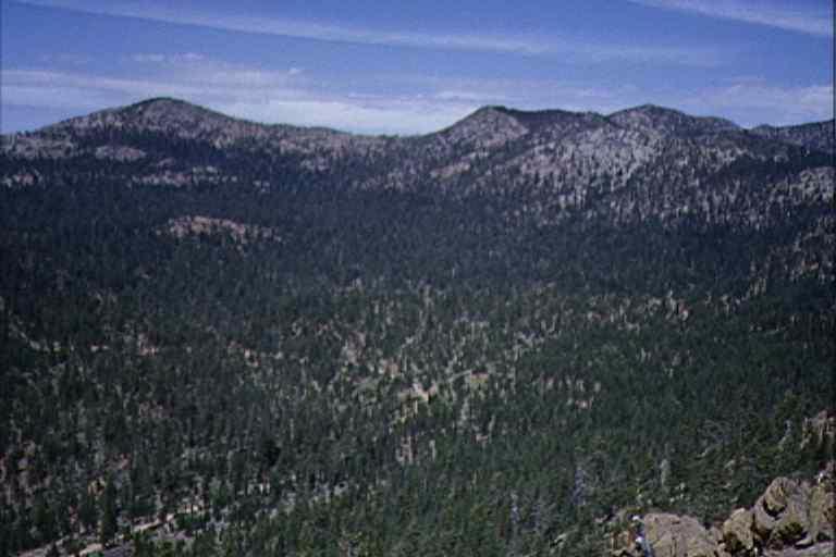
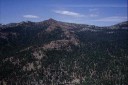
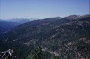
Panoramic series, High Camp Creek (Valley?). Trail traverses all the way around
from right to left.
[768x512 47K] |
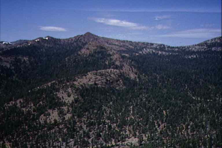
Panoramic series, High Camp Creek (Valley?). Trail traverses all the way around
from right to left.
[768x512 42K] |
 |
 |
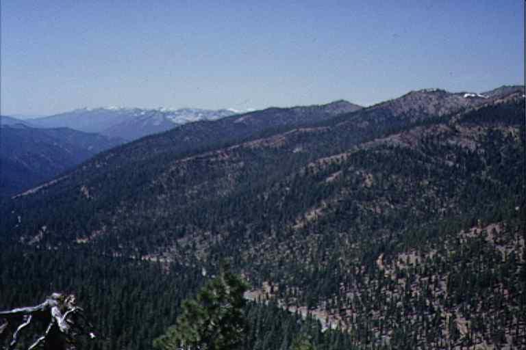
Panoramic series, High Camp Creek (Valley?). Trail traverses all the way around
from right to left.
[768x512 39K] |
Panoramic series, High Camp Creek (Valley?). Trail traverses all the way around
from right to left.
[768x512 38K] |